Maps Aerial view of Oaks Bottom, with the boundary shown in yellow Trail map of Oaks Bottom Wildlife Refuge (courtesy Caltopo/TF Outdoors)black = paved paths; gray = gravel paths; orange = natural surface paths
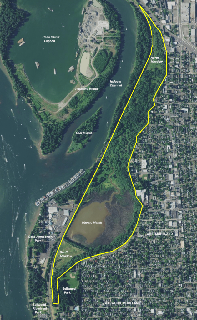 Aerial view of Oaks Bottom, with the boundary shown in yellow
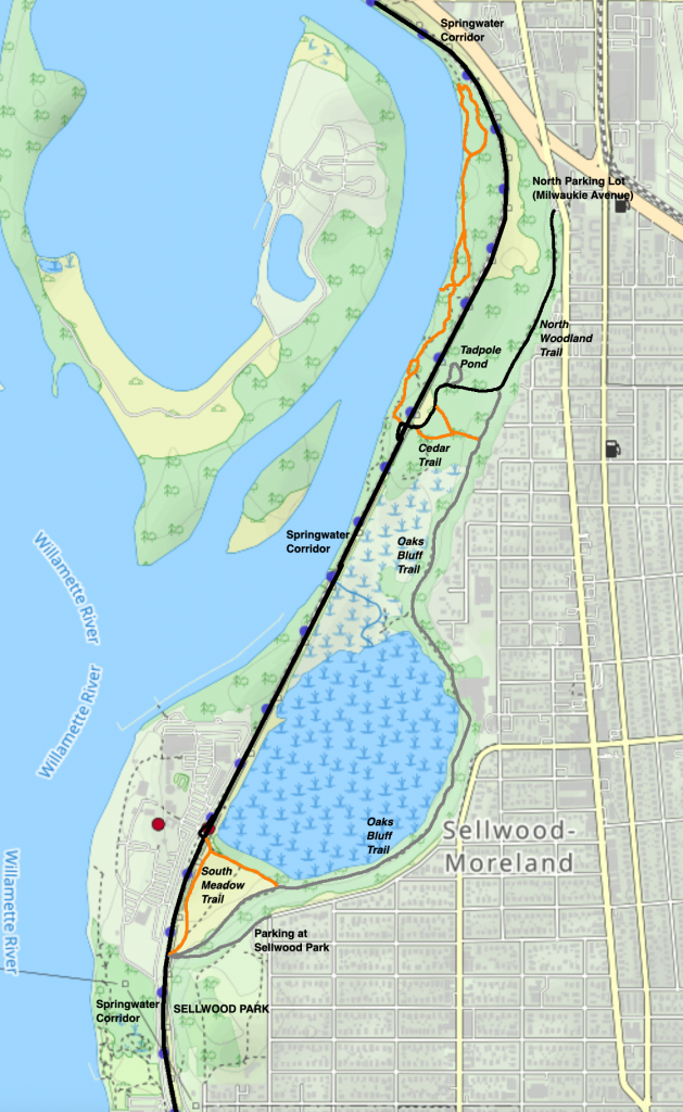 Trail map of Oaks Bottom Wildlife Refuge