Article and photos by John Sparks
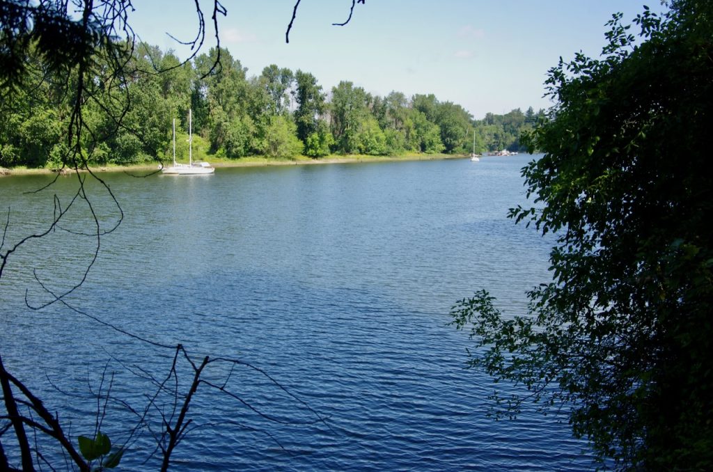
Even those who are familiar with the Oaks Bottom Wildlife Refuge may never have explored that section of the refuge above the Holgate Channel. Many of those that were in the know often avoided the area as, for many years, it was the site of semi-permanent encampments. Those camps are now gone, and the riparian forest here has reverted to a peaceful oasis of rustling cottonwoods above a placid stretch of the Willamette.
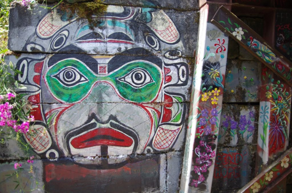
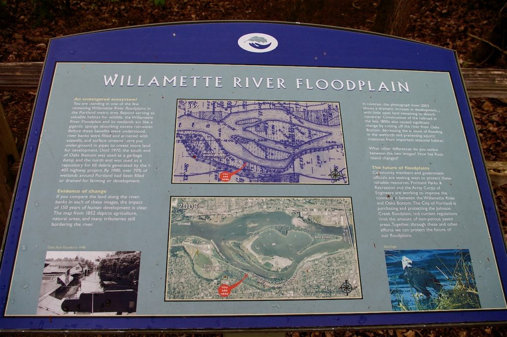
Access to this riparian woodland is from the Springwater Corridor junction with Oaks Bottom’s paved North Woodland Trail, which drops from the parking lot on Milwaukie Avenue. You’ll pass through a tunnel displaying Northwest Native American motifs painted by local artist Stephen Cutler. An interpretive panel announces the entrance to the trail and explains human impacts on the Willamette River Floodplain over the past 140 years.
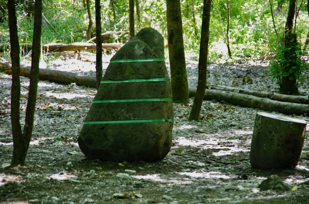
To your right as you enter the shade of the riparian canopy, you’ll see part of local sculptor Linda Wysong’s Shifting Assets installation. These rocks are either glacial erratics with bands of reflective acrylic or cast concrete with bands of steel, metaphors for the natural and industrial environments that clash in the River City. There are other installations of Shifting Assets along the Springwater Corridor closer to the Ross Island Bridge.
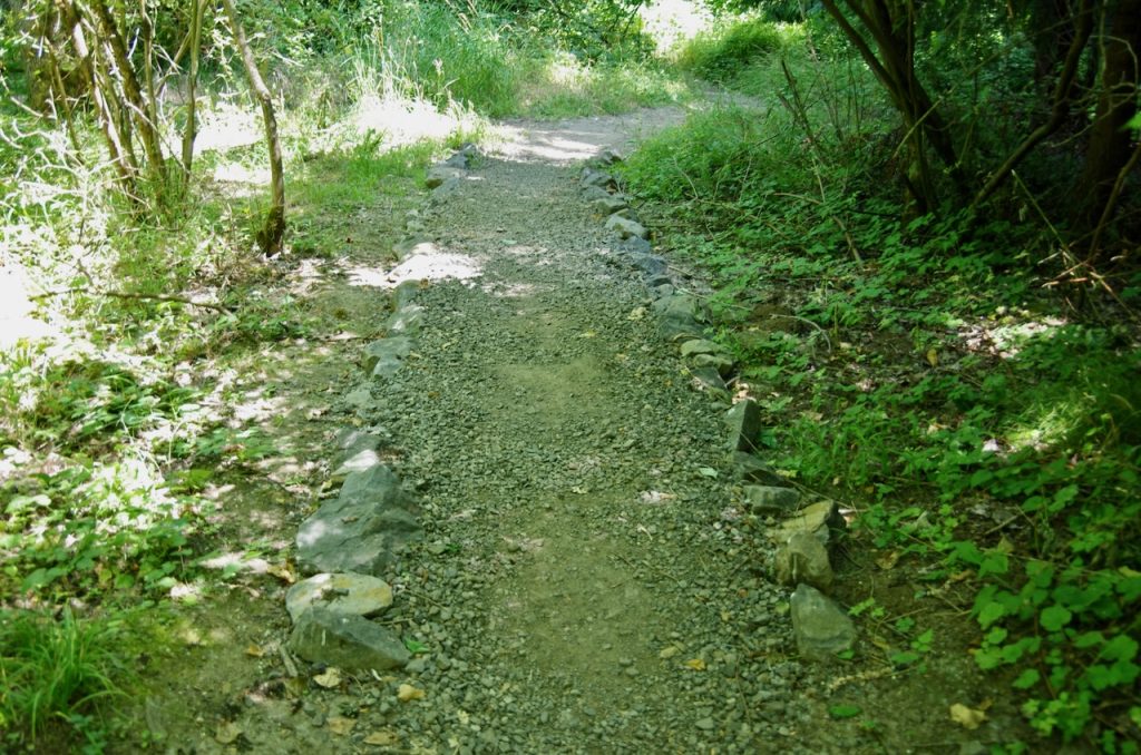
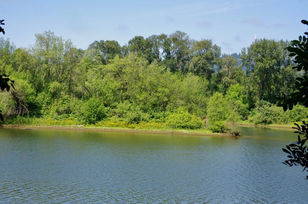
The River Trail is a gravel trail with several rock-lined turnpikes that heads north for 0.6 miles to rejoin the Springwater. First, however, you can head straight out to a blufftop viewpoint over the Holgate Channel. Straight across from you is East Island and behind that, Hardtack Island, two of the four islands in the Ross Island archipelago. In 1926, the Army Corps of Engineers constructed a berm that joined Hardtack and Ross islands to facilitate the gravel mining of what became the Ross Island Lagoon. The berm drastically altered the hydrology of the Willamette River, eliminating the channel between Ross and Hardtack islands entirely and directing most of the river flow west of Ross Island. The river began to deposit sediment at the mouth of the Holgate Channel, and East Island had appeared on USGS maps by 1948. The slow moving Holgate Channel does serve as a rest stop for young salmonids but is also more susceptible to HABs (harmful algae blooms). In 2011, local activists successfully lobbied for a 5 mph slow-no-wake limit in the Holgate Channel to protect local kayakers and canoeists.
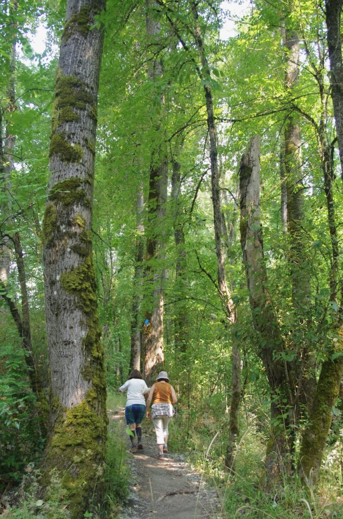
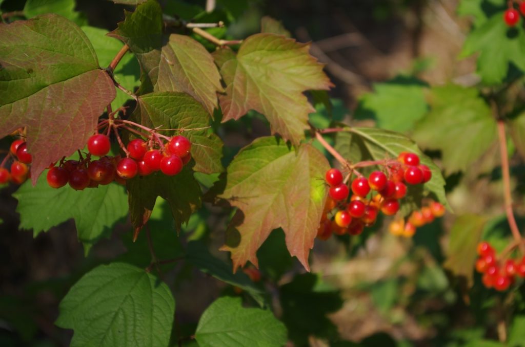
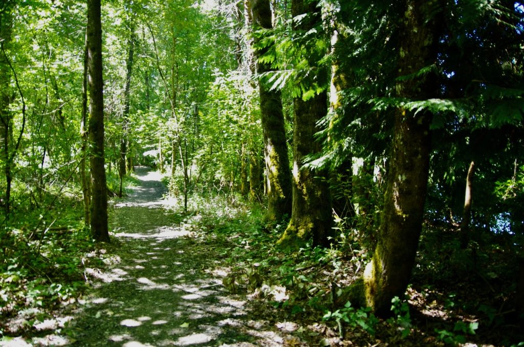
The River Trail proceeds close to the bluff under a native canopy of black cottonwood, Oregon ash, and western red-cedar. Other native riparian vegetation includes red osier dogwood, ocean spray, Pacific ninebark, Pacific blackberry, common snowberry, highbush cranberry, sword fern, and Oregon grape. Poison oak is also a native species that is very common here and can be seen climbing 30 or 40 feet up some of the cottonwoods.
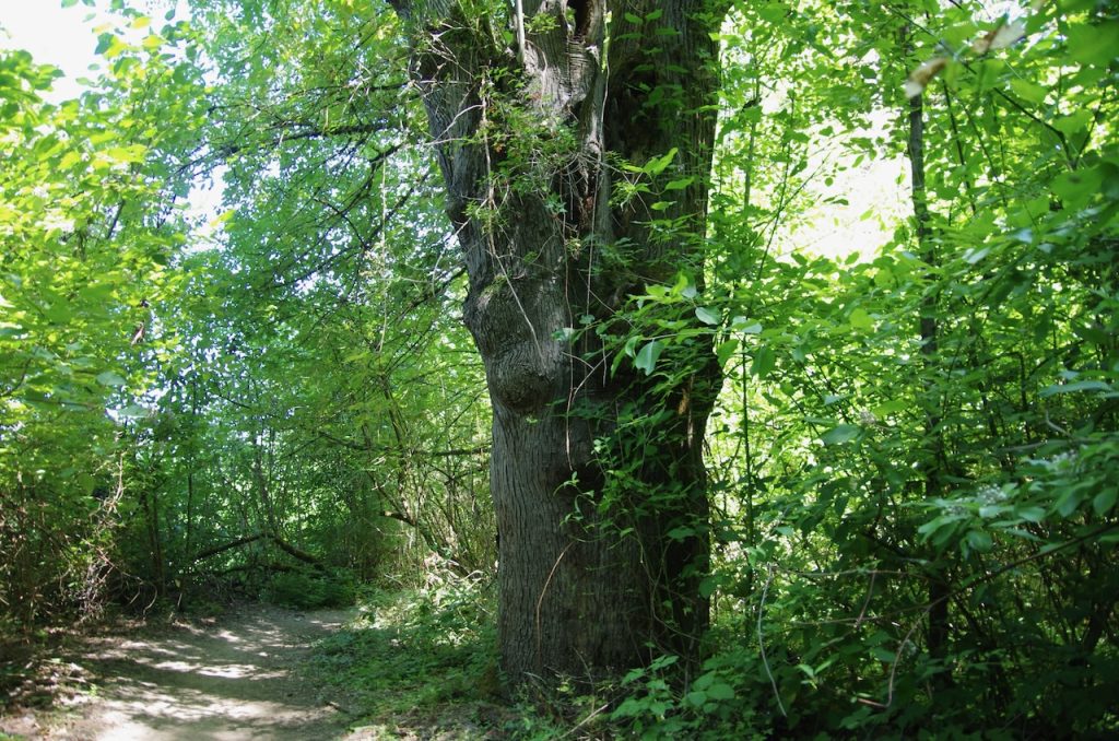
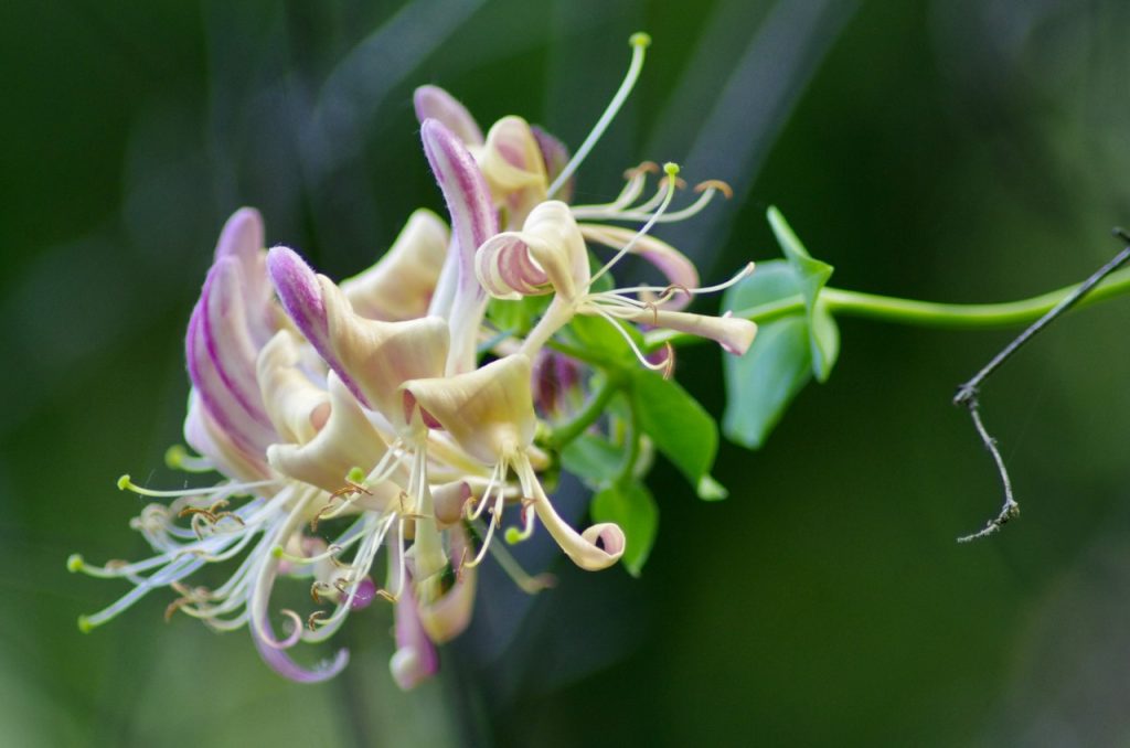
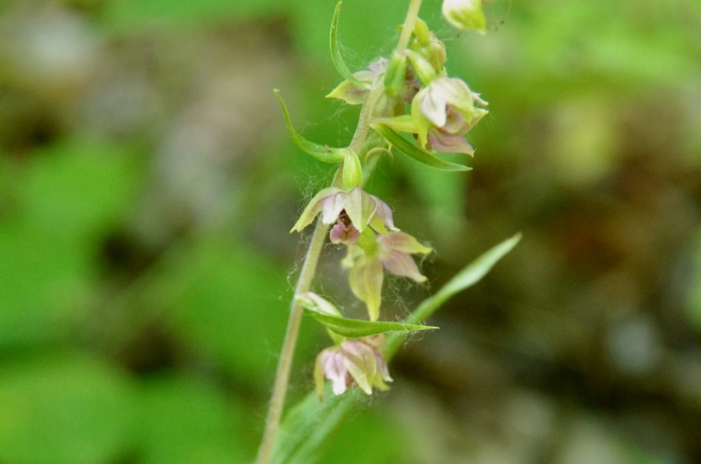
The most common invasive species are old man’s beard (Clematis vitalba), Atlantic ivy (Hedera hibernica), and Himalayan blackberry (Rubus armeniacus). Two unusual invasives that you might spot are European honeysuckle (Lonicera peliclymenum) and the “weed orchid” or broad-leaved helleborine (Epipactis helleborine). Look for an ancient Oregon ash right on the trail. It is over 100 years old and 5 ½ feet in diameter.
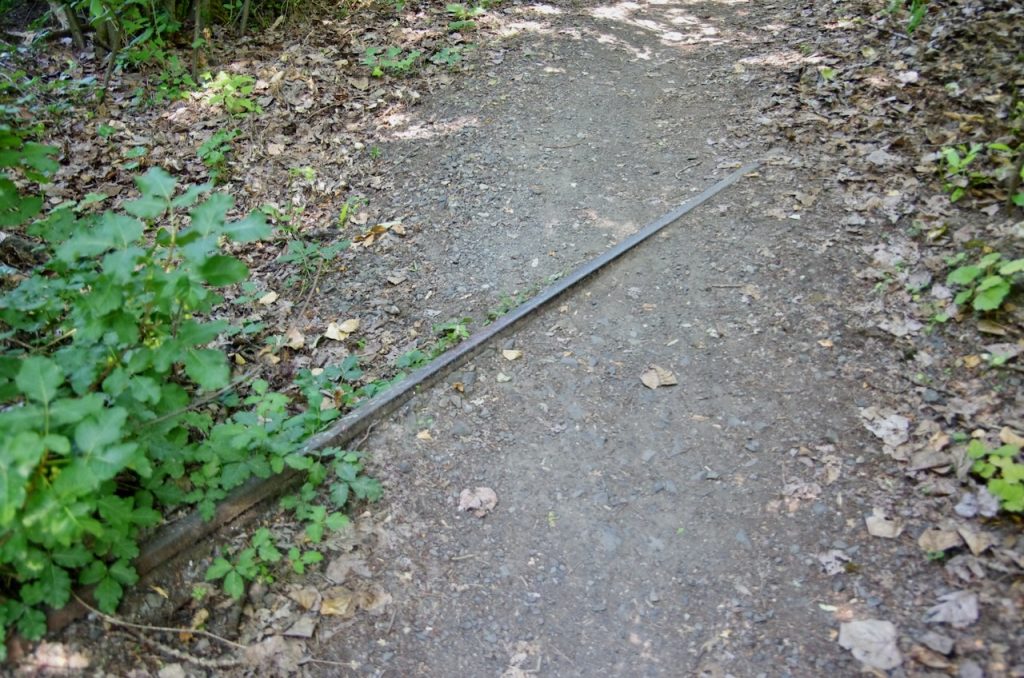
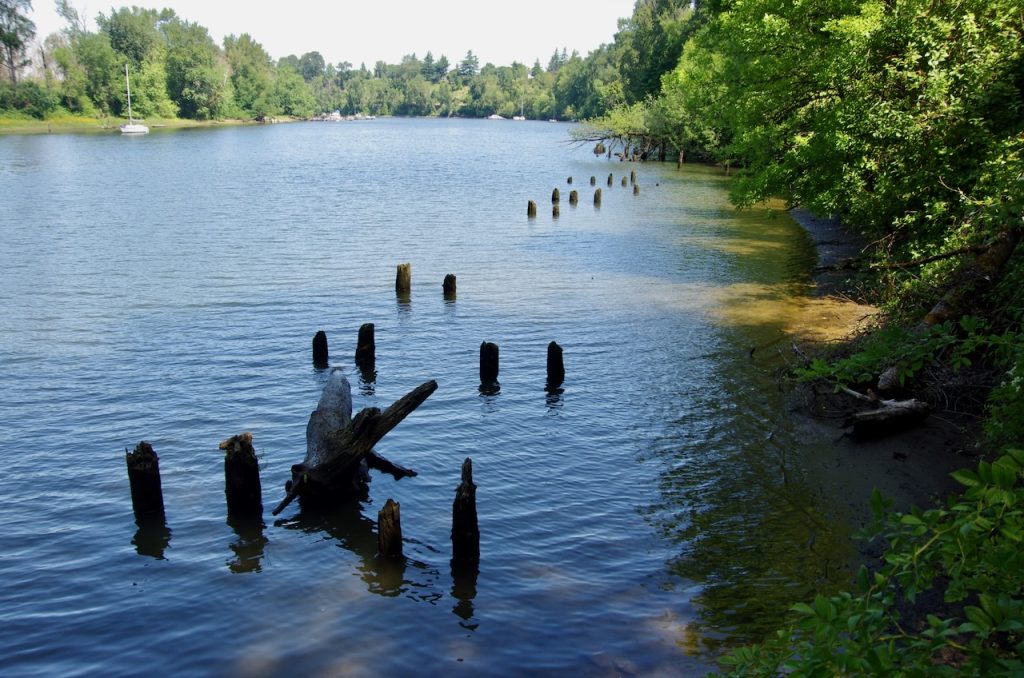
Soon enough, you’ll find yourself walking along a raised causeway, actually an old railroad embankment. According to the Oregon Pacific Railroad, this embankment was on a 0.6-mile spur that left the main line at the north end of the railroad’s Holgate Curve and rejoined it at the south end, somewhere near the southern end of the River Trail. The spur actually followed a wood pile trestle over the Holgate Channel and was used to dump logs to be towed to a sawmill. The spur line was scrapped around 1962, but you can still see half buried rails both north and south of the trestle piles, the rotting remains of which form parallel rows in the channel itself.
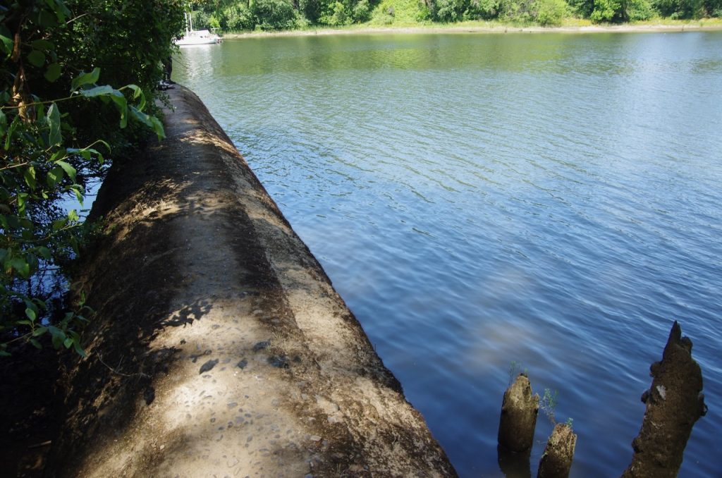
At the south end of the trestle piles, a massive concrete pipe protrudes into the channel. This is the Holgate Channel Outfall, which historically, and all too frequently, deposited untreated stormwater and sewage into the river. Portland’s Big Pipe project reduced this overflow by 94%, and such events now average only four times a year, with the overflow 80% stormwater and 20% sewage. The concrete pipe now more often serves as a convenient fishing perch for local anglers.
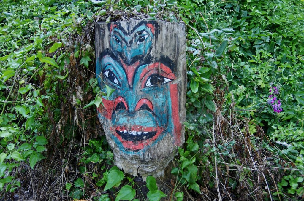
When you get to the north end of the River Trail, you’ll be greeted by a Stephen Cutler totem face and can then hike the Springwater Corridor north or south or return under the cottonwoods the way you came..